How data insights drive Oxfordshire's EV charging points
Local authorities are playing a key role in helping the UK Government achieve its Road to Net Zero Strategy through the rollout of electric vehicle (EV) charging points. Sales of fossil-fuelled cars will cease by the end 2030, and from 2035, plug-in hybrid vehicles that use batteries and diesel or petrol.
Oxfordshire County Council is using varied data to understand where EV charging demand is to inform the infrastructure of charge points across the region. Paul Gambrell, Team Leader, ZEV & Energy Integration, at Oxfordshire County Council, spoke to Government Transformation about the project.
Deploying charging points in Oxfordshire
How EV charging points are deployed varies from council to council. Oxfordshire has been working with commercial partners to identify and address user demand.
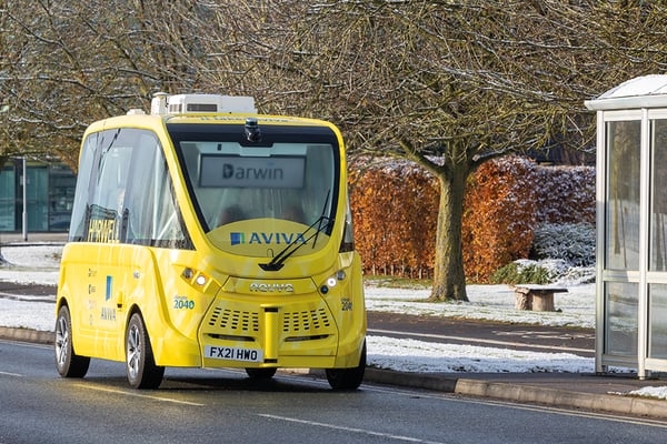
There are over 4,500 full EVs registered in Oxfordshire, according to the Department for Transport. Before charging points are ubiquitously installed, it is essential that councils prioritise places where they are currently required to avoid complications with the energy infrastructure. .jpg?width=220&name=IMGL0453%20(2).jpg)
“For us, as a local authority, it’s very important that we prioritise charges in the right areas so we keep the tension between people buying EVs and the charging infrastructure to a minimum,” Gambrell said.
His team has been working on several projects supported by Innovate UK and funded by the Government’s Office for Zero Emissions Vehicles (OZEV) to understand where charge points should be placed to meet user demand and encourage residents to go electric.
These projects employ data from various sources, including socioeconomic, electricity supply and EV registration data, to support the efficient planning and delivery of EV charge points for residents and visitors.
“The big area where we need better data is electricity supply in a particular area,” he adds. “But I know that distribution network operators are working on that to try to make that more accessible to all of us as well.”
One of these projects is Park and Charge Oxfordshire: a £5.4million programme to install 20 “hubs” of fast EV charging points in District Council car parks across Oxfordshire.
They are located in towns and villages where many residents lack off-street parking. They also provide overnight charging facilities with free parking to nearby residents, as well as top-up charging to visitors and commuters during the daytime.
Drivers can find where public EV charging points are in Oxfordshire using an interactive map. The solution, Gambrell continues, benefits the council as the car parks can be used as charging hubs for people who don't have off-street parking.
He adds: “They're designed so that people who don't have off road parking can use them to charge their vehicles up overnight and during the day they are there for the general user in the car park, maximising the use of the asset.”
Another EV charging point project Gambrell’s team is working on is OxGul-e, where residents can have a charging point at their address which uses their own home power supply. The Gul-e is a channel installed in the pavement that allows a cable to be safely connected between a wall-mounted charger and an EV at the kerbside.
“Gul-e provides a safe way for a cable to build across the pavement and exit kerbside, so they can plug their car in and charge,” says Gambrell.
Using location data
A survey published this week by the Geospatial Commission is asking local and regional governments across the UK to share their views on electric vehicle (EV) charge point infrastructure to understand how location data can better support the planning and delivery of EV charge points by local authorities.
It's part of the Geospatial Commission's discovery project into location data supporting the government’s Electric Vehicle Infrastructure Strategy published in March by the Department for Transport.
Location data, also known as geospatial data, is information that indicates the geographic position of objects, structures or other assets. Although this kind of data can be beneficial for the roll out of EV charging points, Gambrell notes that it can also be difficult to use.
“It's really encouraging to see the Geospatial Commission looking into this and trying to find ways of facilitating and making the data easier to other local authorities,” Gambrell says. He adds that his council is working with AI-start-up Mind Foundry to develop a mapping tool that's easy to use and accessible to better locate charging point locations.
“We have our strategy about how we want to try and tackle these problems, other local authorities have a different strategy,” concludes Gambrel. “The tool needs to be able to cope with all those strategies so that it can be as accessible and usable as possible.”